30 November 2022
Princes Park playspace renewal (completed)
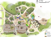
The upgraded play space aims to enhance the existing play features to provide new and exciting play elements and extend the opportunities for other ages and interests.
Enter text and select option from the drop-down list

Published on 18 September 2023
We are improving and extending the Rosstown Rail Trail to make the route safer for people riding bikes and walking.
The Rosstown Rail Trail is a walking and cycling route of approximately 7.4 kilometres, broadly following the alignment of the former Rosstown Railway Line running from Elsternwick to Hughesdale.
To date, Council has delivered improvements from Riddell Parade to Oakleigh Road, consisting of:
These improvements help:
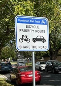

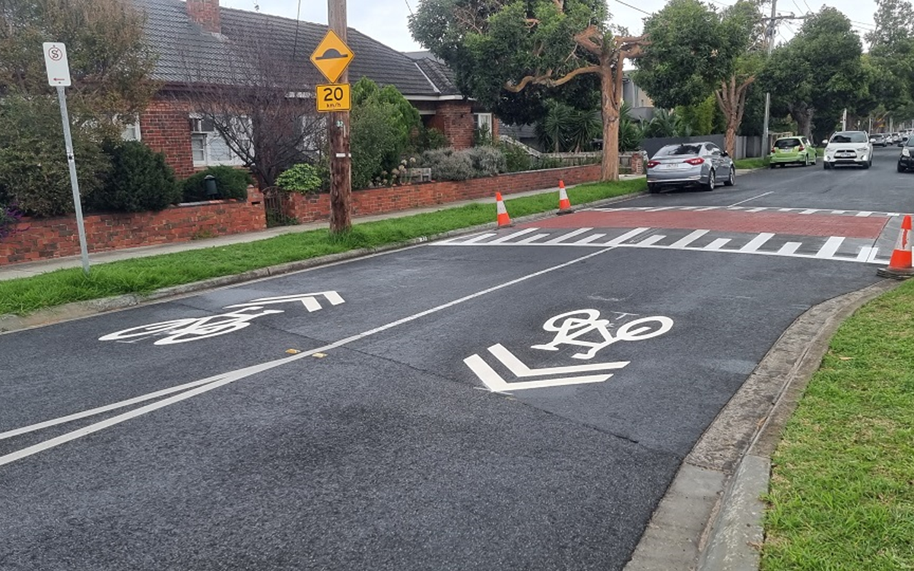
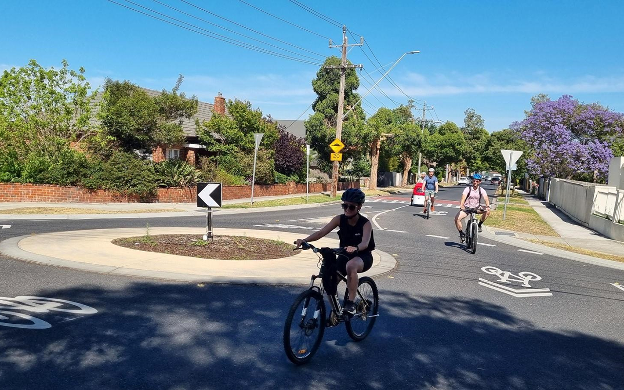
We are now delivering additional treatments as marked on the map below, we will be consulting with residents in December on the planned improvements.
Traffic calming (raised pavement)
Sharrows will be painted along Murrumbeena Crescent.
‘Share the road’ signs (replacing existing small faded generic bike and arrow sign)
The works are planned to be undertaken in March 2025. Residents who live close to traffic calming devices (raised pavements) will be notified of the specific dates of works, once the schedule is confirmed.
Residents directly affected by the raised pavement construction will be notified prior to the commencement of works. Traffic management will be implemented during construction, which will involve road closures during works including concrete curing duration.
Encouraging walking and riding bikes help people to stay healthy. Improving safety and reducing injury benefits us all. Your support for this project would be gratefully appreciated.
Sharrows will be painted along Albert Road and Moira Avenue
Directional signage will be installed at intersections with Albert Road and Moira Avenue.
If you have any questions or comments, please email cityfutures@gleneira.vic.gov.au or call 9524 3333 to speak with one of our transport planners or traffic engineers. All comments will be reviewed before determining the final works. If there are changes, a revised plan will be sent to neighbouring residents.
30 November 2022

The upgraded play space aims to enhance the existing play features to provide new and exciting play elements and extend the opportunities for other ages and interests.
22 November 2022
Council decided not to proceed with the proposed multi-deck commuter car park projects in Bentleigh and Elsternwick.
© 2025 Glen Eira City Council