We have implemented a new 3D modelling system aimed at assisting with strategic planning decisions and development assessments in Glen Eira
Planning in 3D
Glen Eira is a thriving, and diverse municipality with a population of around 155,000 and growing, our planning team asses and plan for our community needs and growing future in a way that minimises the impact on the things our community values.
With the help of a grant from the Victorian State Government's Digital Planning Grant, we're using advanced technology to show local buildings, the environment, development sites, approved projects, and proposed changes in 3D.
The goal of our 3D modelling website is to provide more information about local planning projects, applications, and issues. This is especially useful during early design and community engagement stages and during assessment.
Users can search for a location and use online tools to:
- zoom in or out
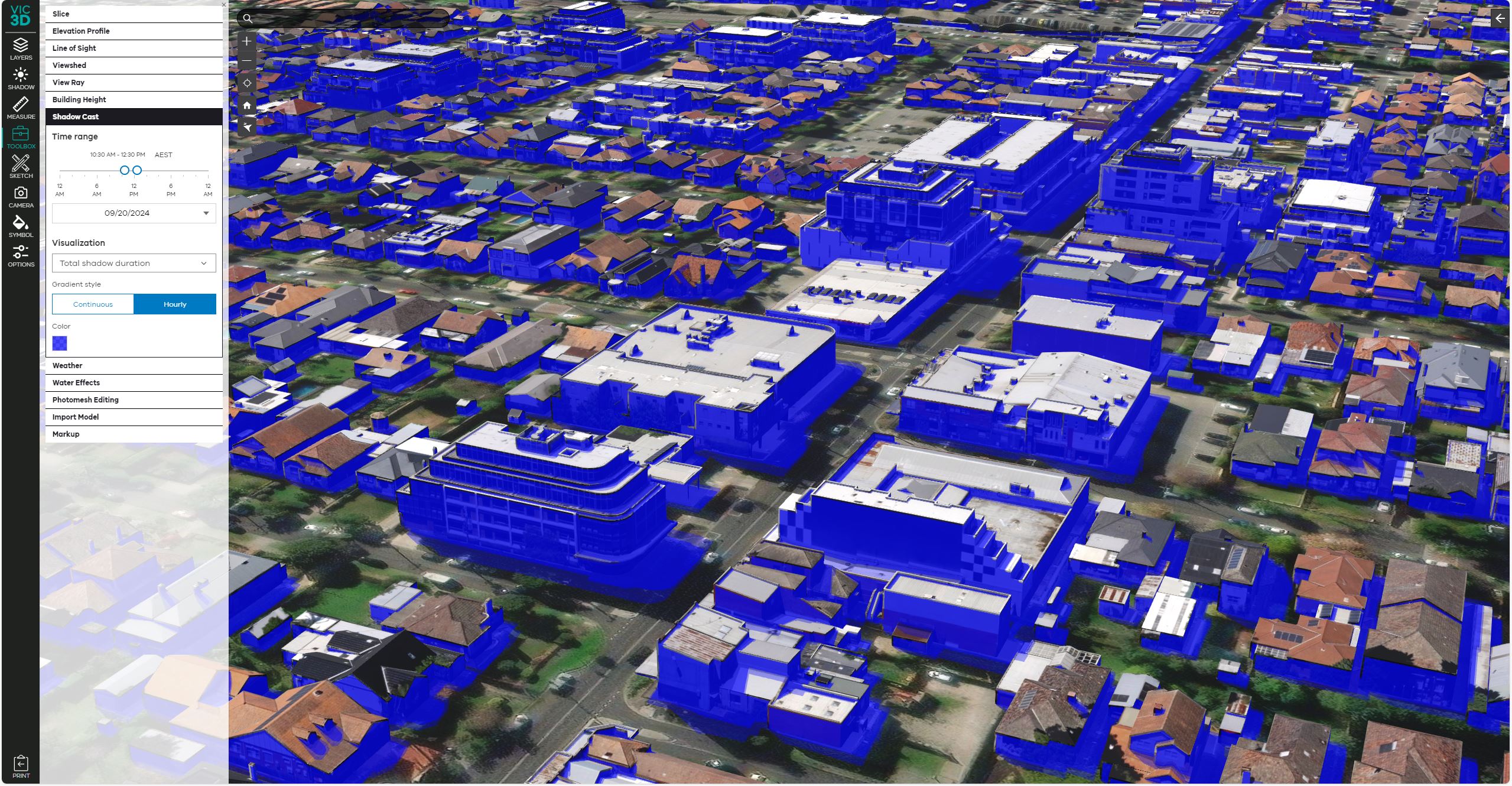
- measure areas and distances
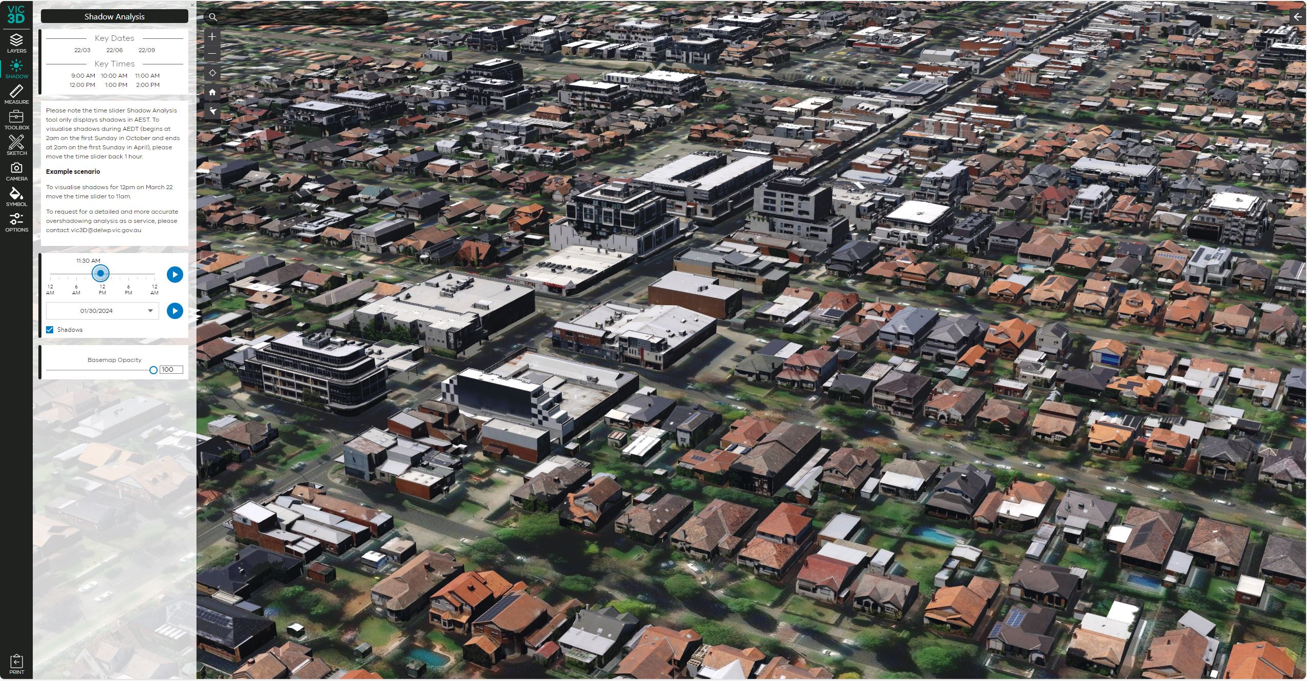
- see different times of day
- visualize sunlight and shadows
- compare heights, sizes, and landscaping from different angles.
3D model submission guidelines
The use of 3D models for assessing certain types of development applications can streamline our assessment processes. It improves the decision-making process and design outcomes. A 3D digital model may be required for significant development applications.
Applicants, developers, and architects may submit a 3D digital model.
Please prepare and submit 3D model as per the detailed 3D digital model submission guide.